
The data used by the different areas of the Greater Region to learn more about their forests and their evolution comes from national and/or regional field inventories. These inventories are very precious tools. However, they take a great deal of time and energy to compile, and have very long update cycles (generally 10 years).
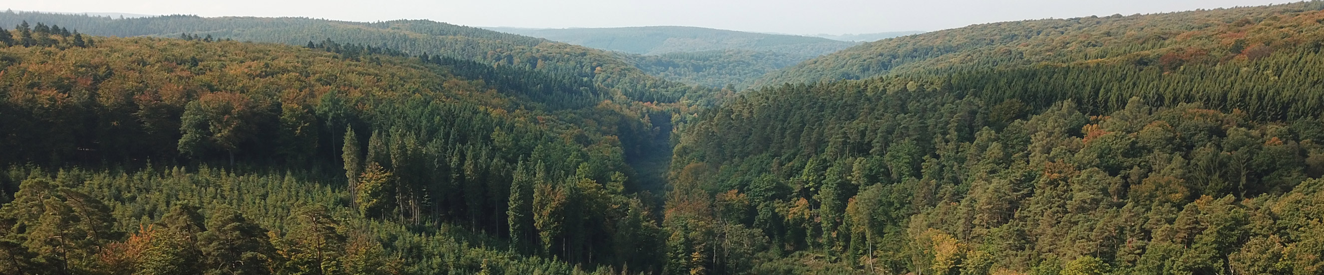
In addition to the forest field inventories based on sampling units distributed systematically at regular intervals, remote sensing enables 3D spectral information to be captured, covering an extensive surface area on a regular basis. Several partners are working on creating a monitoring tool within the project context. To do so, data taken from satellite images, aerial images and LiDAR coverage are combined to build up a picture of the forest from a new angle. This tool is regularly updated and correlated with the field inventories, providing the latter with an additional level of reactivity.
The partners’ ambition is to create a highly flexible instrument that is open to technological and methodological developments and capable of providing up-to-date information on the forest on a recurrent basis. To do so, the monitoring tool will use data which until this point have been under-exploited, but which are very rich in information about our forests (population classification, quantification of wood types, identification of tree species, etc.).
Involved partners: Ressources Naturelles Développement (RND), Université de Liège (ULg)-Gembloux Agro-Bio Tech, Université de Strasbourg (Unistra), Universität Trier, Landesforsten Rheinland-Pfalz.
Expected results :
- The creation of a monitoring tool for the Greater Region forest in electronic form;
- The creation of a Living Lab focused exclusively on the forest;
- Mapping and updated measurements of forest coverage over the 2,375,000 ha of forest in the Greater Region, identifying clearcuts, “static” areas, and distinguishing between softwoods and hardwoods.
- Testing on pilot areas for a more detailed description of wood resources (volumes, identification of types of tree, stand structure).